
Local News
KWSO FIRE UPDATE 9/10/20
Sep
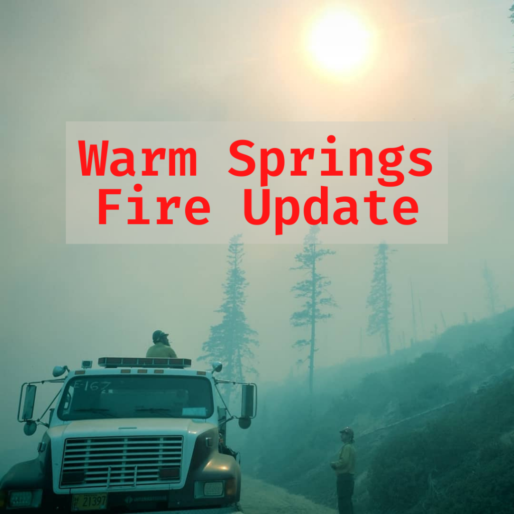
The lightning caused Lionshead Fire that started August 16th on the Warm Springs Reservation has grown to an estimated 109,223 acres. During this Monday’s Wind Event the fire spread from Tribal Lands across the Cascade crest to near the town of Detroit where it has connected to the Beachie Creek Fire. There are 1000 Personnel assigned to the fire with work being done on both the Warm Springs, East side of the fire, and the Western edge of the fire near Idanha and Detroit.
Morning winds from the southeast are expected to shift to the northwest this afternoon, promoting fire spread back to the south and east. Crews continue to aggressively work to strengthen lines of the fire on the eastern side of the crest of the cascade on the Warm Springs Reservation. In preparation of the predicted westerly wind change forecasted this afternoon night crews used strategic firing operations to widen and improve control lines. That created smoky conditions in Warm Springs this morning.
Firefighters will use the strengthened lines combined with natural barriers to help hold the fire from spreading when winds move back to a westerly flow this afternoon.
The highest priority for the Lionshead Fire continues to be safety of the public and our firefighters. West of the crest of the cascade firefighters will continue to scout the north and south fire edges to determine locations for containment lines. Providing protection to infrastructure, assisting local fire departments and agencies as needed.
On the Warm Springs Reservation firefighters will continue hardening containment lines and preparing for the wind to return to the westerly flow. Additional fire camps and air operation bases are being set up, crews and equipment are coming in as resources are available.
Evacuations: There are currently no evacuation orders associated with the fires on the Warm Springs Reservation. To check on family across the state, the Oregon Office of Emergency Management has created an interactive dashboard to help provide the most up-to-date information on evacuations statewide.
Off the Reservation orders are being issued for evacuations as conditions change. Please monitor the local area sheriff’s department websites and Facebook for updates. (Deschutes, Jefferson, Wasco, Linn, and Marion counties).
Closures: For public and firefighter safety, roads and trails on the southwest portion of the Warm Springs Reservation near the fires are closed to the public. Trout Lake Road at pavement end; Road B140 at Potter’s Pond; Road B210 and Road P-500. All trails south of Trout Lake, west of M-120 Metolious Bench, east of Mt. Jefferson, and north of J-195 will be closed to the public. Tenino Road (P-200) is closed to the public, with only fire personnel and residents are allowed.
Forest closures are in place for Deschutes, Mt. Hood and Willamette National Forests. For more information about forest closures, please refer to National Forest websites. Deschutes NF Alerts Willamette NF Alerts Mt. Hood NF Alerts
A Temporary Flight Restriction is in place over the P-515 and Lionshead Fires. Wildfires are a No Drone Zone.
FOR ADDITIONAL FIRE INFORMATION:
- TripCheck: https://www.tripcheck.com/.
- Inciweb: https://inciweb.nwcg.gov/incident/7049/
- Facebook: www.facebook.com/LionsheadFire
You can read the full morning fire report HERE
See the current fire map HERE