
Local News
KWSO FIRE UPDATE 9/29/20
Sep
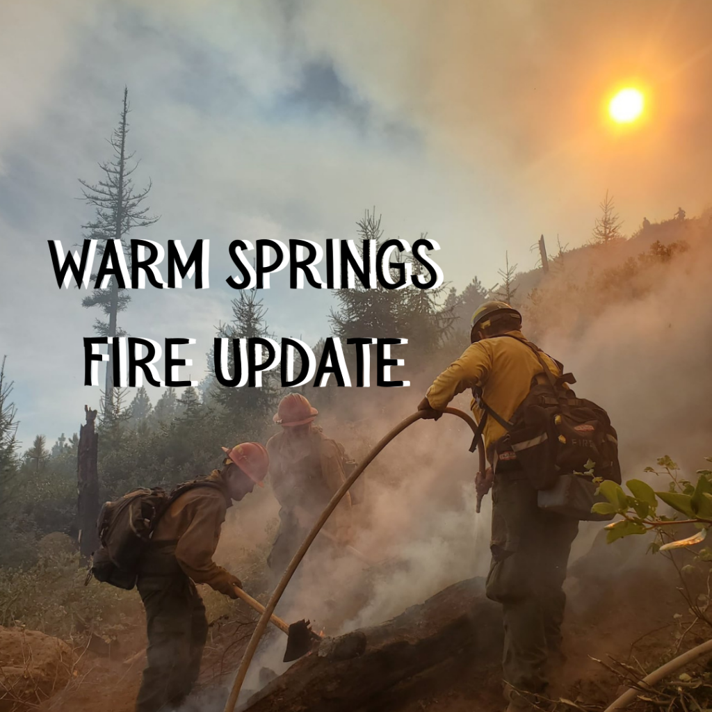
The Lionshead Fire started on August 16, 2020 from a lightning strike. It is currently listed at 34% containment and is mapped at 204,355 acres. Here is today’s FIRE MAP
Although the containment percentage has not changed for several days, crews are working hard at mop-up, cold trailing and connecting segments of contained line around the southwest, west and northwest perimeter.
Burned Area Emergency Response assessments will continue on the reservation today. This will guide planning for post-fire soil stabilization and other work to mitigate degradation of the landscape and damages to cultural resources.
Today, a roads group will begin removing hazard trees along the 46 corridor between Detroit and Breitenbush. Fire managers are still developing a hazard removal strategy for Hwy. 22to ensure safe public access. On the southwest corner, crews are reinforcing line and linking segments of containment line in the Cooper’s Ridge area.
Aviation was able to provide full support Monday, including water drops, Burned Area Emergency Response (BAER) and Resource Advisor (READ) reconnaissance, as well as coordinating with other aviation needs, including Civil Air Patrol flights for FEMA assessments.
Coordinating continues with fire managers on the Riverside Fire to establish contingency lines to the north and along the power line corridor. Crews are chipping around the “finger” on the west/northwest side of the fire as well as along the eastern and southeastern flanks.
Weather & Fuel Conditions: Temperatures will rise into the high 70s and low 80s at elevations below 5,000 feet today, which will begin drying out fuels that received less moisture during the recent rains. A shift in wind direction should push any active fire upslope and toward the interior.
HERE is the full fire update for Tuesday, September 29, 2020