
Local News
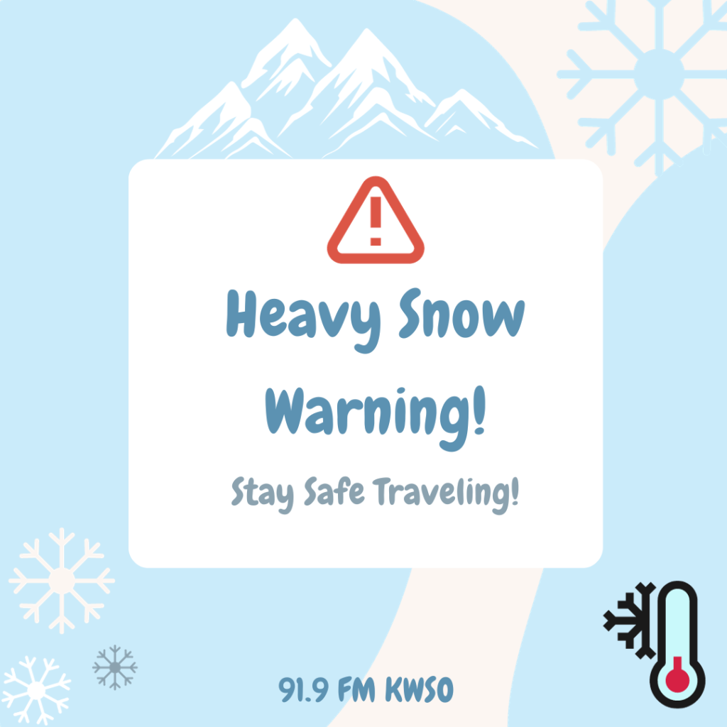
Blizzard Warning issued for January 9th and 10th
Jan
Warning Travelers! A winter storm is set to hit the cascades affecting both Northern Oregon and Southern Washington. This storm is expected to bring at least a foot of snow to local mountain passes.
Snowfall is expected to fall Tuesday, January 9th at 4am through the evening of January 10th. Affecting areas above 3000ft. This snowstorm will bring the region its heaviest snowfall yet.
Rapid snow accumulation of up to 2 inches per hour is to be expected from the storm as well as poor visibility. Dangerous driving conditions will make it difficult for even the most experience drivers. Not only will the snowstorm will cause issues for regions but also strong winds that will accompany the snow. Both the heavy snow and strong winds may bring down tree limbs which can then lead to power outages.
Cold and windy conditions will make will make the outdoors unsafe for those that are unprepared.
Travelers are advised to avoid traveling through the mountain passes. Mount Hood is expecting 2 to 4 feet of snow with winds reaching 50 to 70 mph. It is advised that travelers attempting to go over the mountain, should travel with emergency supplies.